Day started clear and cool in Blow Me Down Provincial Park on the Bay of Islands.
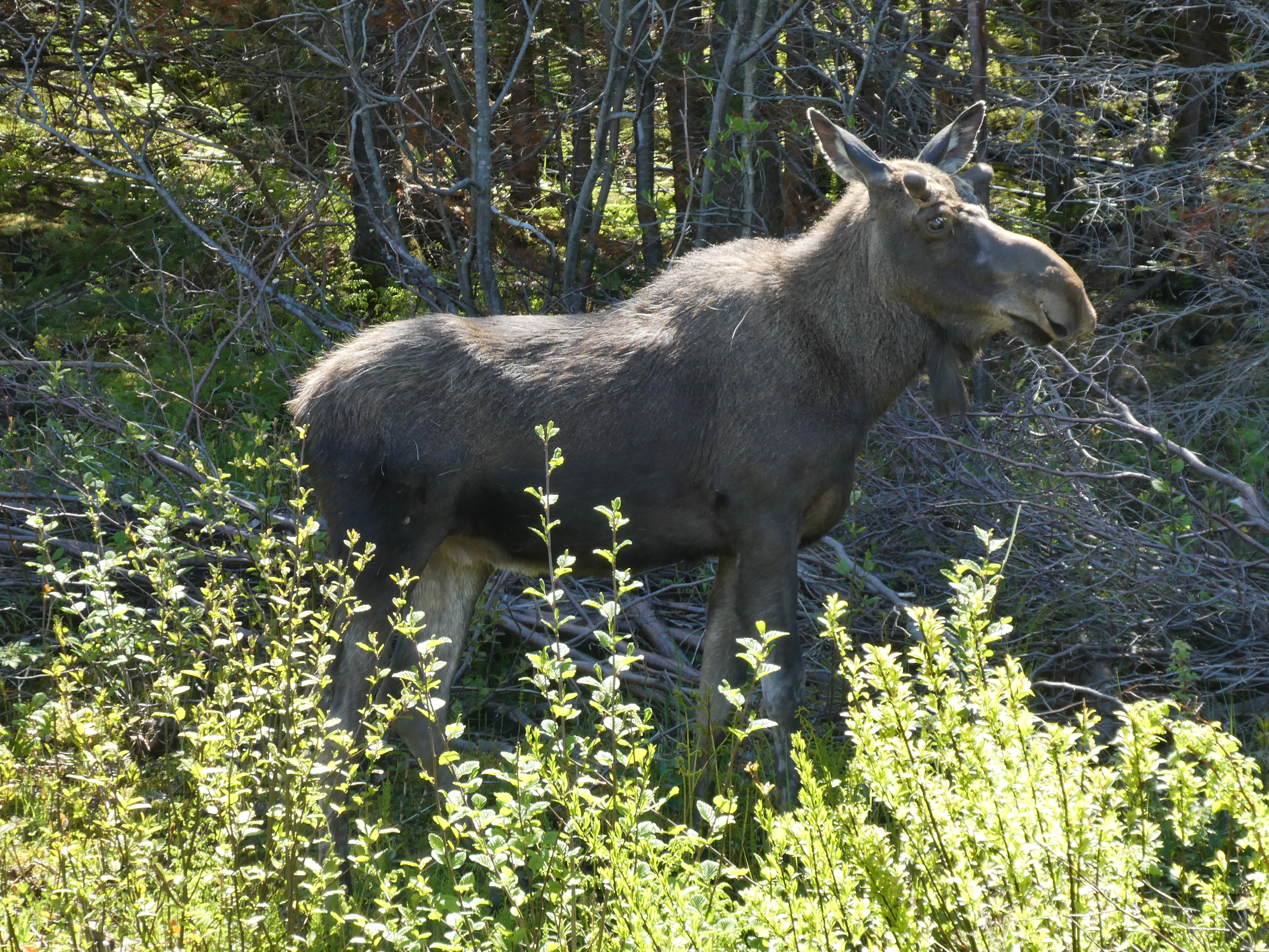
On the way back to Corner Brook we saw a moose that very politely posed for us.
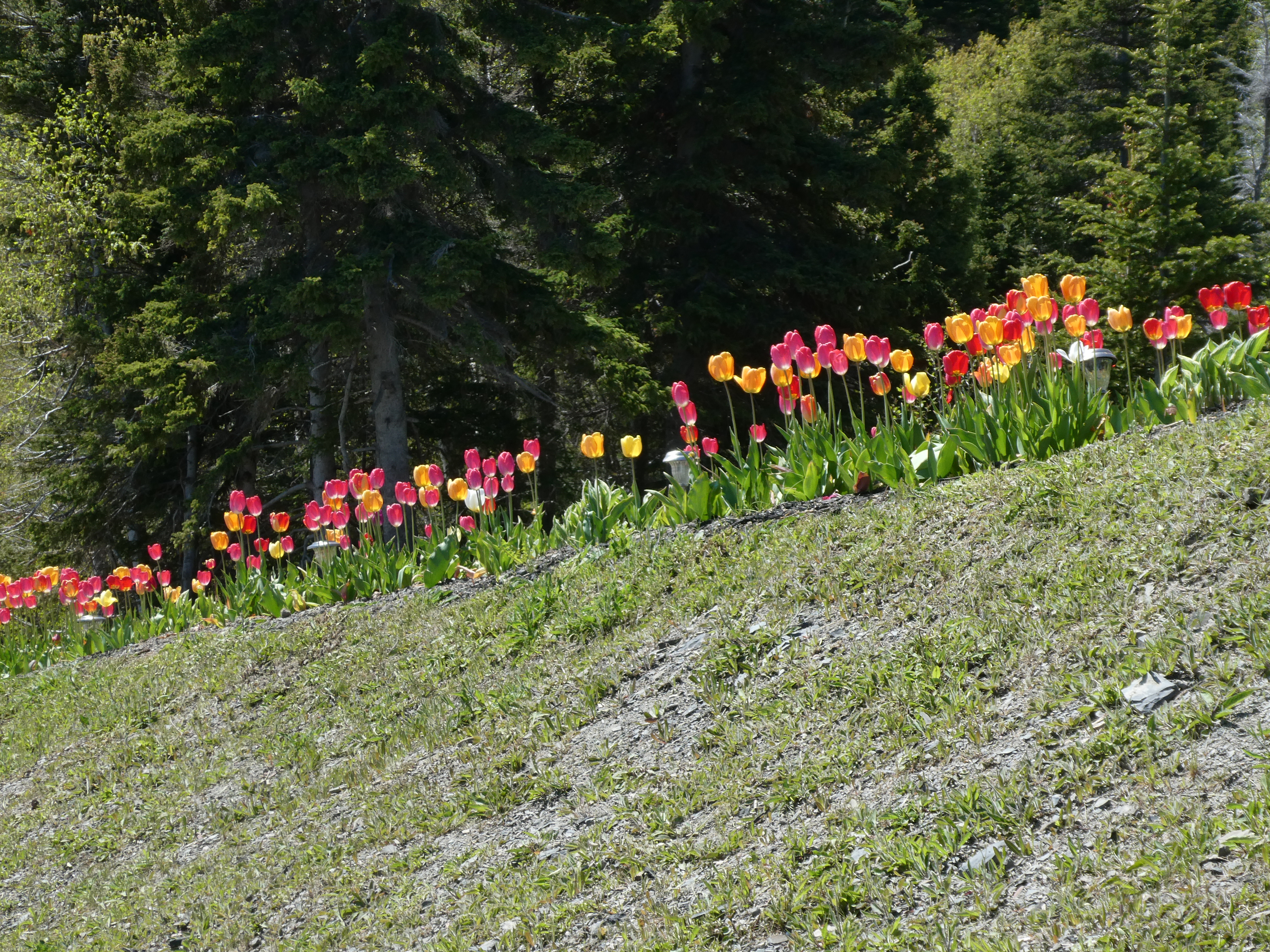
Also along the way we saw this driveway lined with tulips; a sign that Spring arrives at very different times at different latitudes. We’ve been enjoying spring flowers since February in Florida!
Once in Corner Brook we drove to the Captain James Cook memorial park. Cook was a ships master when he learned surveying in Halifax. Then he made a reputation for accurately charting the coast of Newfoundland. The British wanted an accurate map of the “French Coast” to help keep track of the French cod fishermen who had treaty rights to seasonally fish but not settle certain sections of the Newfoundland coast.
Statue to James Cook who mapped the coast of Newfoundland.
The park is on a hill overlooking the Humber Arm of the Bay of Islands…
…and also the paper mill that dominates Corner Brook.
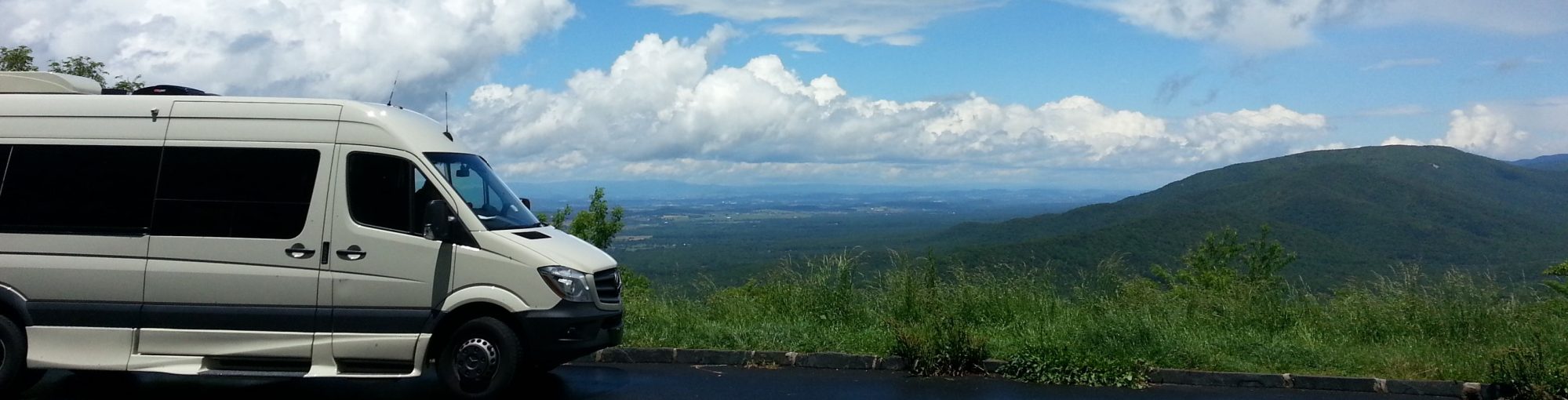
Then it was back to the Trans Canada Highway – Route 1 and north to the start of the Viking Trail – Route 430 at Deer Lake.
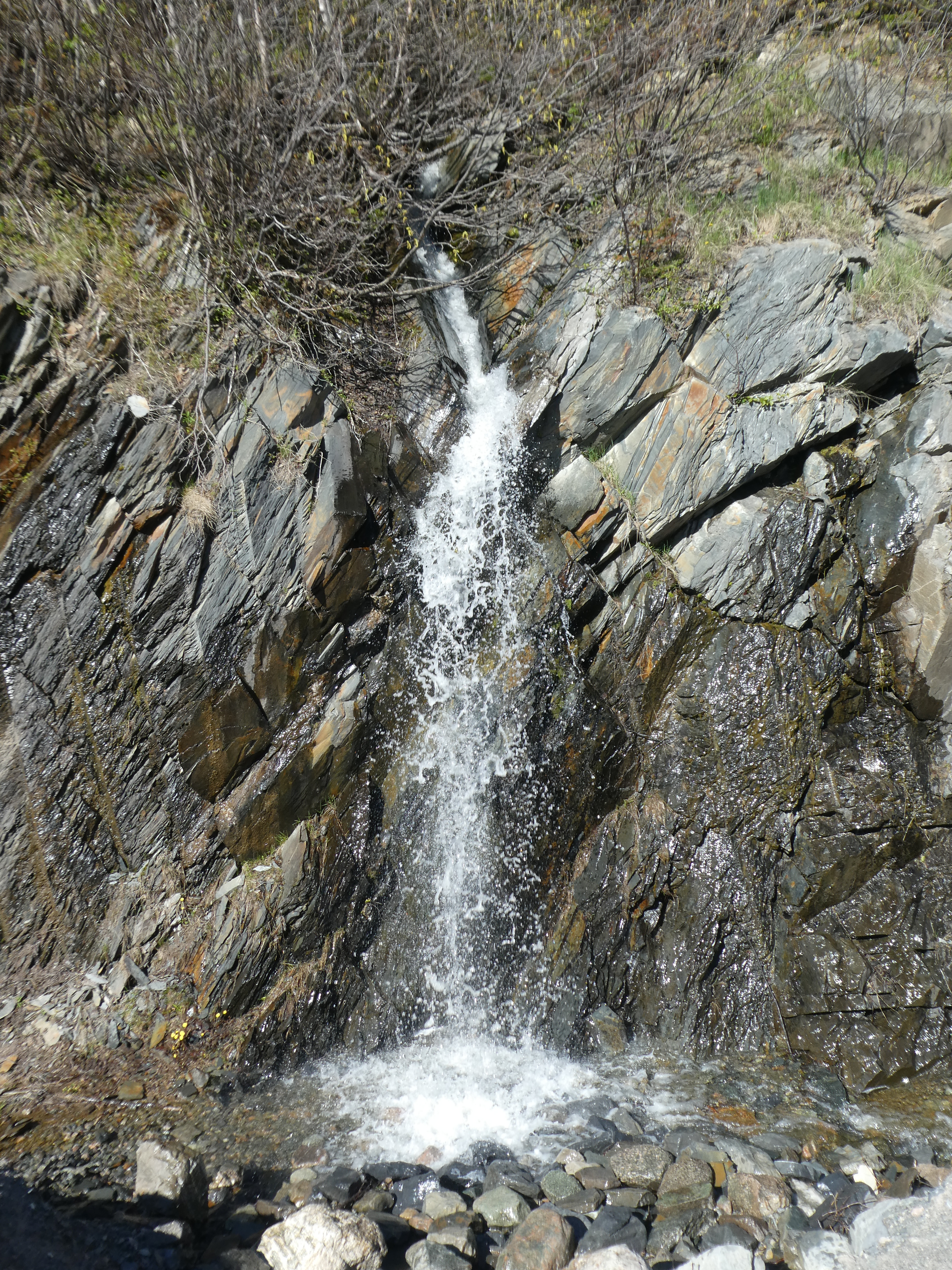
We like the water falls.
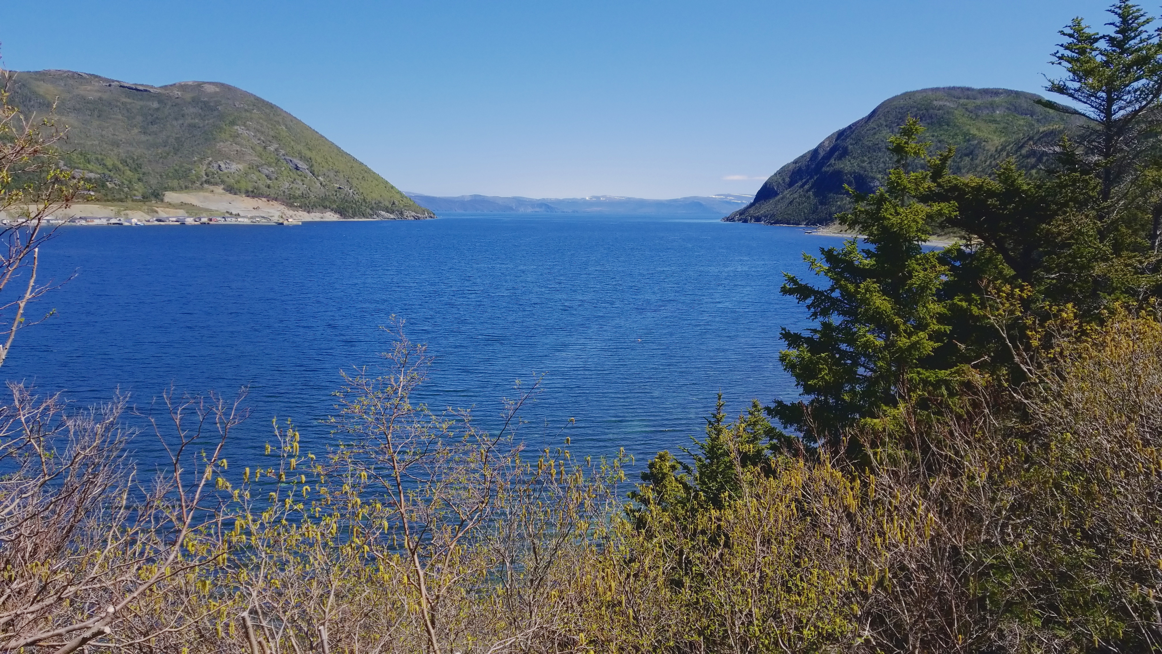
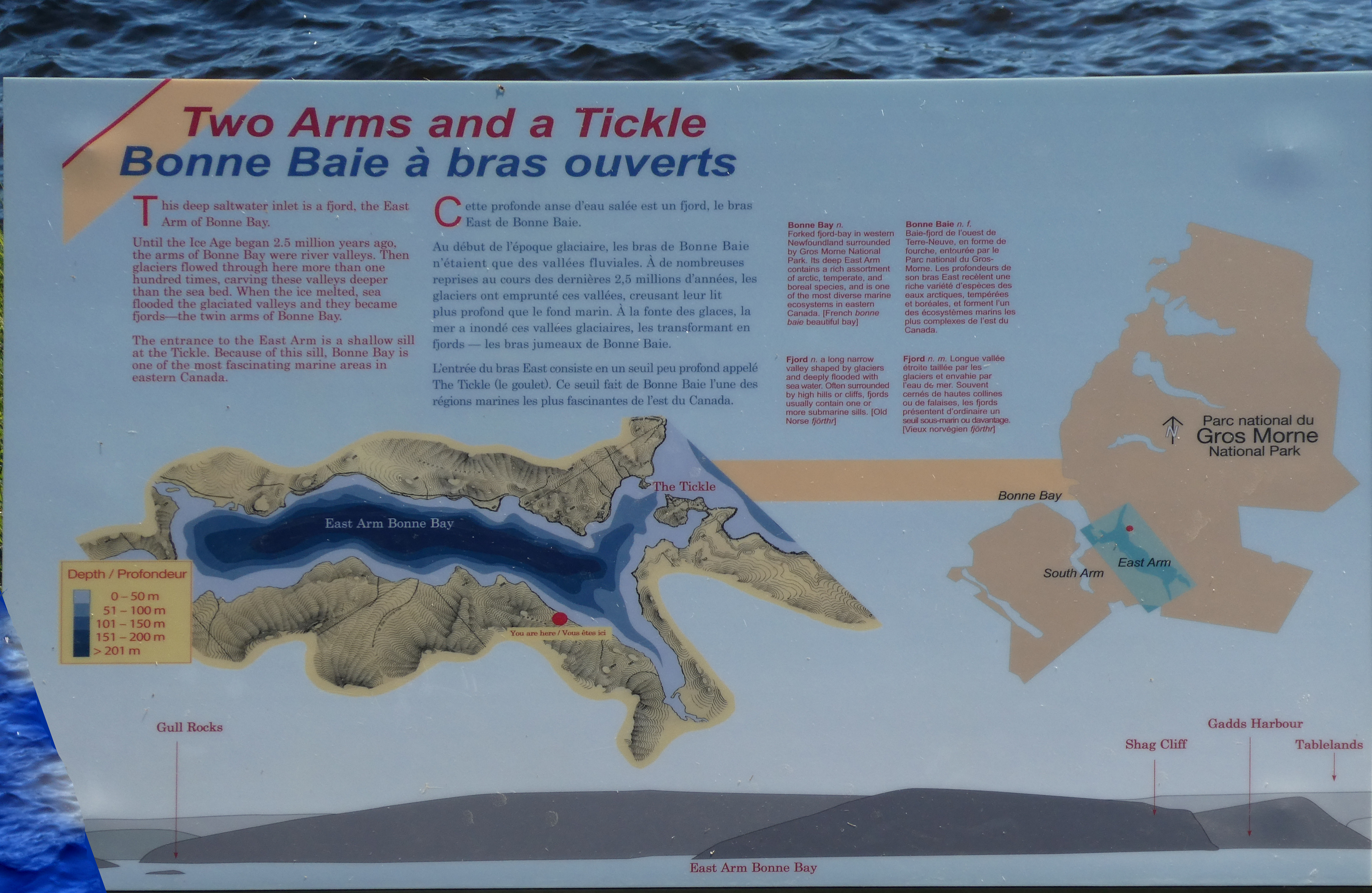
Our destination for the night was at the mouth of the Bonne Bay, a very large fjord surrounded by Gros Morne National Park.
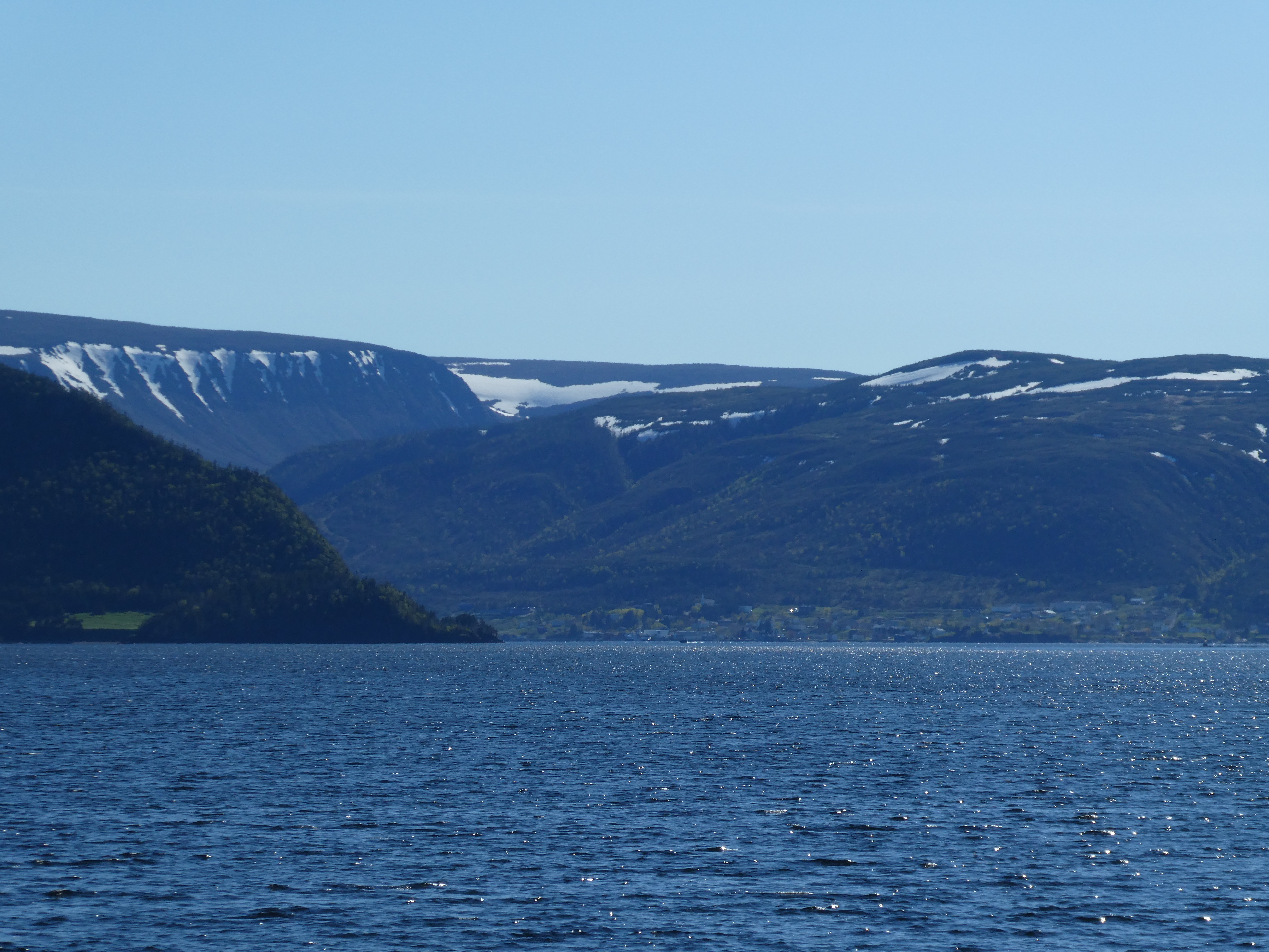
The fjord has a very large and deep arm but a very shallow mouth which means than the fresh and sea water don’t mix much and the depths of the arm stay very cold so there is an isolated community of arctic species.
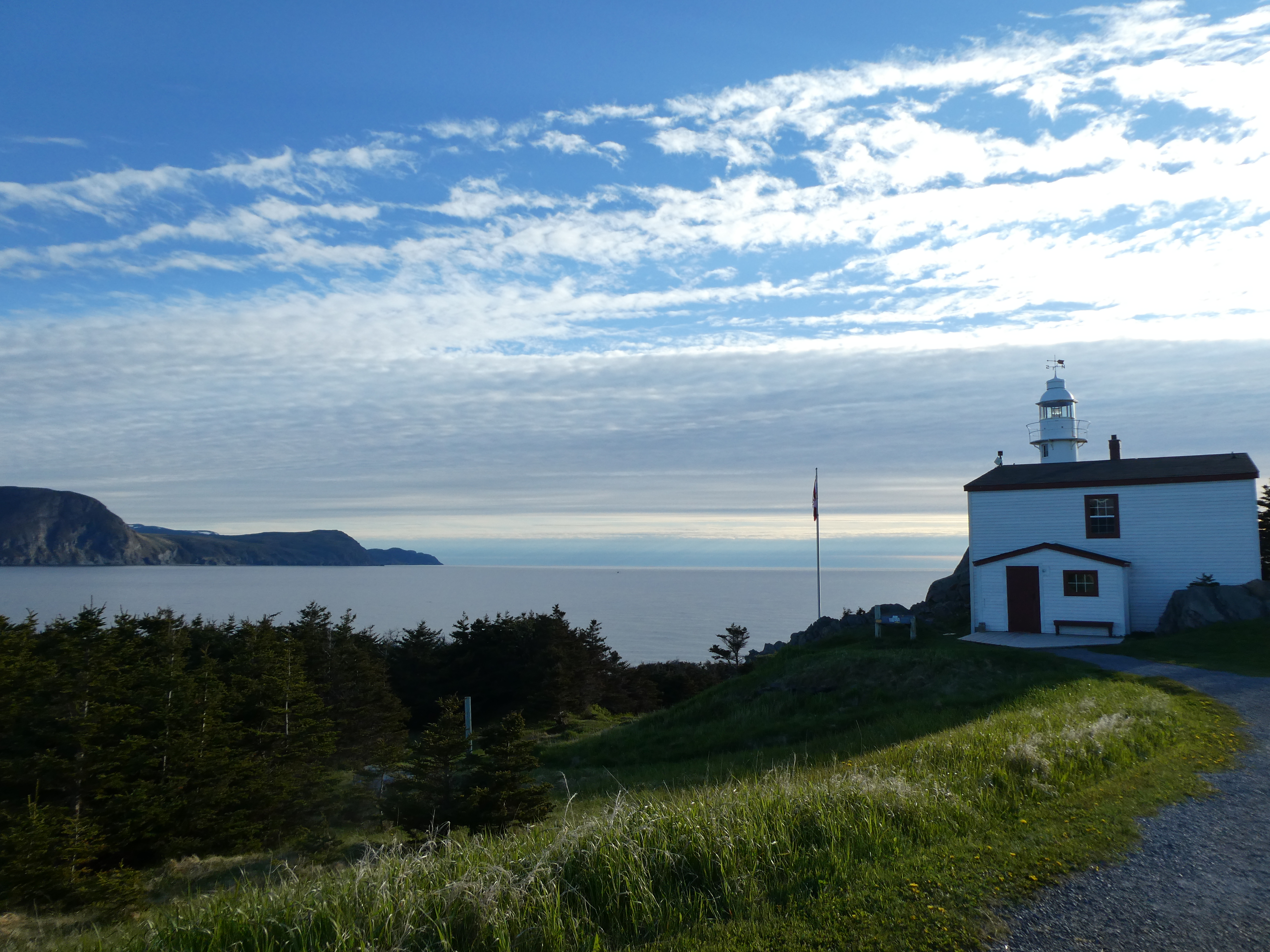
Settled down for the night after exploring the paths around Lobster Cove Lighthouse.
We’ll be coming back to Gros Morne National Park on our way back South.